

Rain and Storms Return to North Texas, Cooler Days Ahead
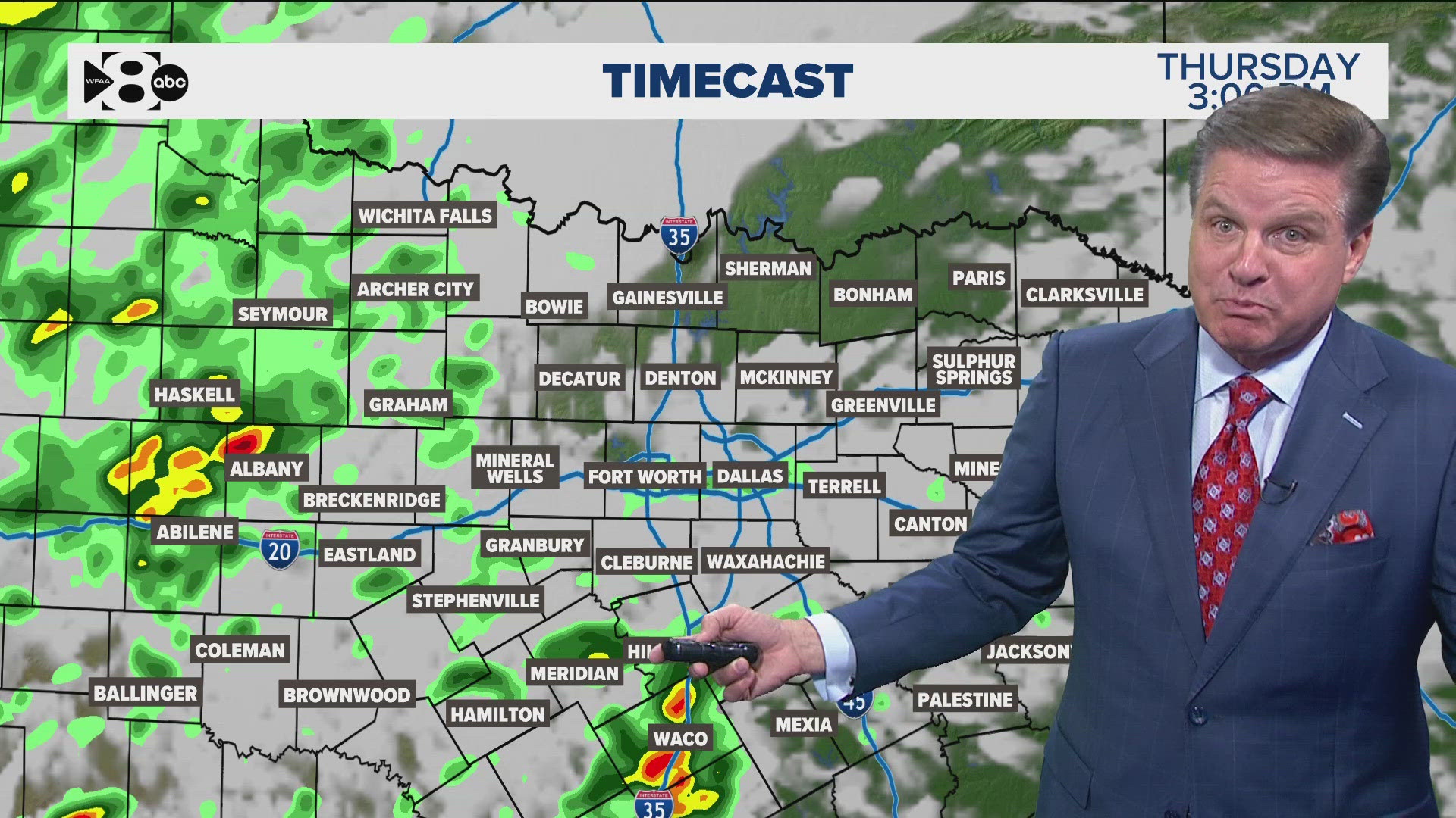
This week, North Texas is gearing up for a series of rain and thunderstorms, with weather patterns expected to bring some relief from warm, muggy conditions. Starting on Thursday, cloud cover will increase across the Dallas-Fort Worth (DFW) area, and residents can expect morning drizzle and patchy fog, with showers developing later in the day. While the storms will be most concentrated west of DFW, some rainfall is likely to pass through the metroplex throughout the day.
Also Read:- Black Friday Australia 2024: Best Early Deals You Can Shop Now!
- Australian Breakdancer "Raygun" Retires After Olympic Debut Amid Controversy
On Friday, the storm activity will pick up, bringing a potential for scattered thunderstorms in the early hours, especially to the northwest of DFW. These storms could bring wind gusts reaching up to 60 mph and heavy rainfall, which may lead to localized flooding in some areas. The most intense round of storms is expected to sweep through North Texas from the west Friday evening, extending into Friday night. This timing means that the Friday evening plans, including local football games, could be affected by wet conditions. While the overall risk of severe weather remains relatively low, there is still a slight chance of strong storms with hail and high winds, so it’s advisable for everyone in the area to stay alert and prepared.
By early Saturday morning, most of the rain should clear out of the region, making way for a cooler and drier weekend. The forecast predicts that temperatures will remain seasonable, keeping North Texans comfortable throughout the upcoming days. However, it’s always wise to stay updated on weather changes. For those planning to be out and about, the WFAA app and other local resources are helpful for tracking storms and getting real-time updates.
As we move further into November, residents of North Texas can look forward to a mix of sunshine and crisp fall temperatures between rain systems. While Tuesday and Wednesday may see drier weather, another wave of rain and potential storms is likely to return Thursday into Saturday. With temperatures expected to range from the lower 40s at night to the 60s and 70s during the day, the week ahead should deliver a true fall feel across the region.
Read More:


0 Comments