

Eastern Australia Braces for Days of Severe Storms and Flash Flooding
As we look ahead to the coming days, eastern Australia is preparing for a series of potentially violent storms that could wreak havoc across Queensland, New South Wales, and surrounding regions. These storms, expected to last for several days, are likely to bring heavy rainfall, damaging winds, and the possibility of flash flooding. The Bureau of Meteorology has issued warnings, urging residents to stay alert as these intense weather conditions unfold.
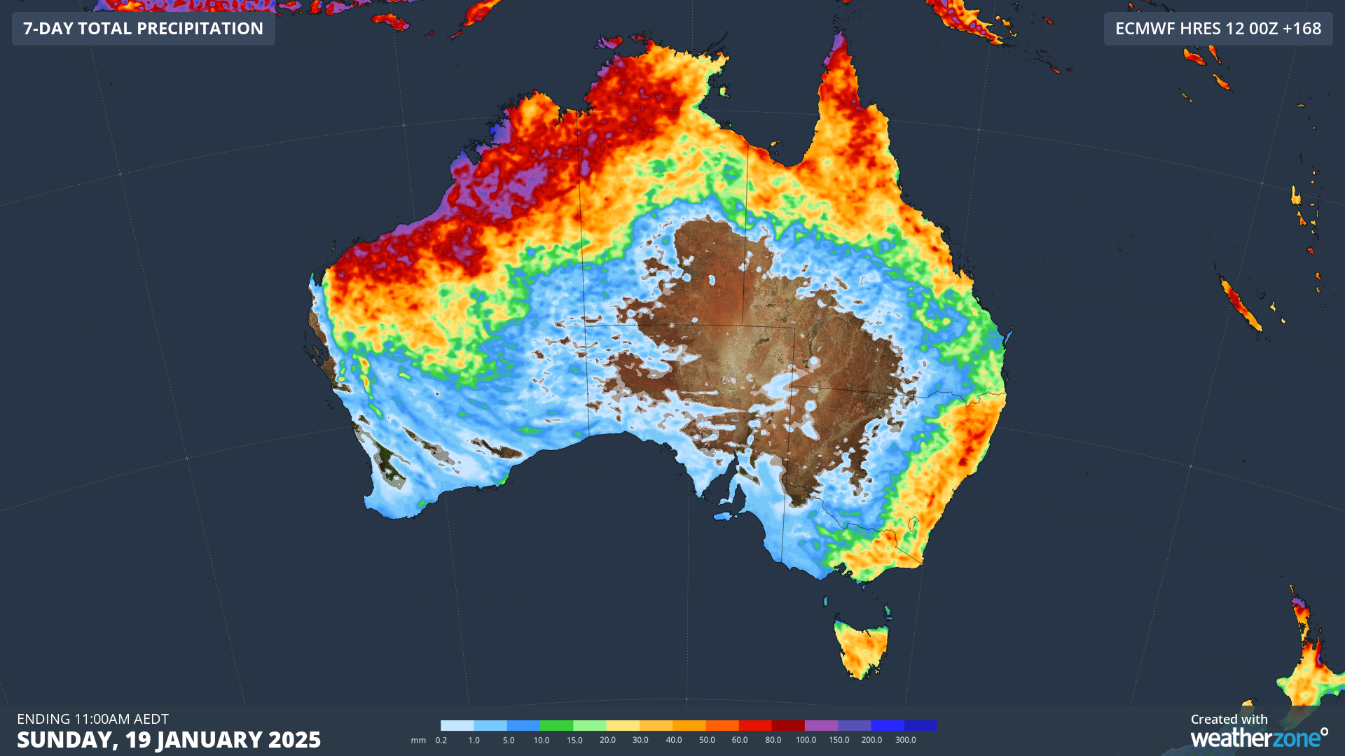
The stormy period kicks off after an already rainy weekend, which saw significant rainfall in various parts of the country. In particular, the ACT experienced a heavy downpour of 72.2mm in just two hours, the largest since 2021. Other areas, such as Melbourne and the Gold Coast, also faced significant rainfall totals, with Melbourne recording 31mm and the Gold Coast seeing over 100mm in a 24-hour period. These downpours have left the ground saturated, creating ideal conditions for further flooding in the coming days.
Also Read:- Real Sociedad vs Villarreal: A Battle for Champions League Ambitions in La Liga
- Emmerdale's Crucial Update on Missing April Windsor Shakes the Dales
The storms this week will be driven by a combination of factors, with stronger steering winds at higher altitudes playing a key role in intensifying the weather systems. These winds, known for directing weather patterns, will add extra energy to the storms, potentially causing them to become more severe. The most dangerous period is expected to be from Wednesday afternoon through Thursday morning, a time when large population centers like Sydney, Melbourne, and Canberra may experience the brunt of the storm.
These storms come with serious risks, including damaging wind gusts of over 100km/h, flash flooding, and the possibility of large hailstones. Authorities are warning that these weather events may disrupt power supplies, and residents are urged to prepare for potential blackouts and road closures. Flood-prone areas, in particular, should brace for sharp rises in river levels and be ready for structural damage.
For those in affected areas, it's important to follow safety guidelines: stay clear of fallen power lines, avoid floodwaters, and be mindful of storm drains and creeks that could quickly swell. If you find yourself in an emergency, always call triple-0.
As the storms develop over the coming days, it's crucial to stay updated on the latest warnings. Keep an eye on official channels like the Bureau of Meteorology for real-time weather updates and advice on how to stay safe during this turbulent period. The situation is expected to evolve, and preparedness will be key in minimizing risks and ensuring safety during these potentially dangerous storms.
Read More:


0 Comments