

Stormy Nights Ahead: Thunderstorms and Heavy Rain Set to Hit B.C.
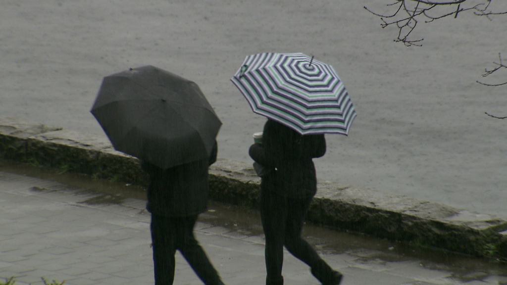
Hey folks, if you're in British Columbia, brace yourselves because the weather is about to get a little wild. We’re looking at an increased risk of thunderstorms across Metro Vancouver and the Fraser Valley, and it’s only going to intensify as the night goes on. If you had outdoor plans for the evening, you might want to reconsider because the forecast is calling for heavy rain, small hail, and strong wind gusts.
This round of unsettled weather started picking up on Wednesday, and the system is only getting stronger. We already saw B.C. hit its first 20-degree reading of the season earlier this week—Osoyoos even recorded a balmy 21°C! But with that warmth comes instability, and that’s exactly what’s fueling these storms. By Wednesday afternoon, parts of the Lower Mainland were already experiencing rain and even a few rumbles of thunder. But the real action is expected to ramp up overnight, bringing the potential for heavy downpours, frequent lightning, and gusty winds.
Environment and Climate Change Canada has issued a special weather statement for Metro Vancouver, including Vancouver, Burnaby, and New Westminster. Wind gusts could reach up to 70 km/h, and areas near the U.S. border, like Langley Township, Aldergrove, and Abbotsford, might even see some large hail.
Also Read:- Franklin County's Baseball Team Triumphs Over Mercer, Advances to 2A State Championships
- Bombers Set for a Fierce Showdown Against Power – Can They Bounce Back?
Now, this stormy pattern isn’t just a one-night affair. As we move into Thursday, the South Coast will continue to see on-and-off rain showers, and as freezing levels drop, alpine snow will return to the mountain passes. The unsettled weather is expected to persist through the end of the week, and while we might catch a brief break on Sunday, another active pattern is waiting just around the corner for next week. More rain is on the way for lower elevations, while the alpine regions will see beneficial snowfall, including the Rockies.
For those who love spring skiing, this could be great news, but if you’re planning to be on the road, be mindful of changing conditions. The freezing level will settle around 1,500 meters by Thursday, which means snowfall in the higher terrain could impact travel through the mountain passes.
And while we’re talking about weather dangers, let’s not forget about the tragic avalanche earlier this week near Kaslo, B.C., where three heli-skiers lost their lives. It’s a stark reminder of how unpredictable conditions can be in the backcountry. If you’re heading into the mountains, make sure to check avalanche reports and take the necessary precautions.
Looking ahead, temperatures will trend back to seasonal averages later in the week, before a push of colder-than-normal air arrives in early April. It’s a true mix of spring weather—warm one moment, stormy the next, and even some late-season snowfall thrown into the mix.
So, if you’re heading out in the next few days, keep an eye on the skies, pack an umbrella, and stay safe. And of course, stay tuned for the latest weather updates to make sure you’re prepared for whatever Mother Nature has in store!
Read More:


0 Comments