

Torrential Rain and Snow Grip Southern Alberta, Spark Road Closures and Concern
Hey everyone, just wanted to bring you up to speed on what’s going on in southern Alberta right now—because it’s serious. As we head into the weekend, a powerful weather system is slamming the region, bringing with it significant rainfall and even snow in higher elevations. Yeah, snow... in June.
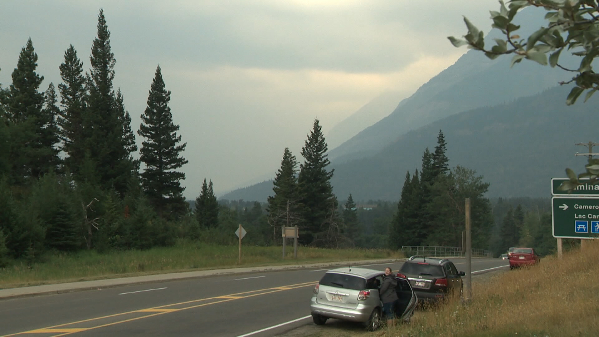
Environment Canada has issued special weather statements and warnings for southern Alberta, including Calgary and Waterton Lakes National Park. The rain started Friday afternoon and is expected to continue into Saturday night. We’re talking about some intense rainfall—up to 200 mm of total precipitation in places like Waterton, with as much as 10 cm of snow expected over the higher terrain. This has already forced Parks Canada to take action by temporarily closing Akamina Parkway and Red Rock Parkway, two scenic routes on the west side of the park.
Also Read:- The GOG Summer Sale 2025 Is the Ultimate Gaming Treasure Hunt
- Adam Saad's 100th Game a Celebration of Resilience, Culture and Pride
The main concern here isn't just inconvenience. Heavy rainfall like this raises the risk of rockslides, debris flows , and localized flooding , especially in mountainous areas with steep slopes. And with winds expected to pick up significantly during the storm, there's also a risk of falling trees, particularly in areas already weakened by past wildfires. All of this adds up to dangerous conditions—not just for drivers and park visitors, but for emergency crews who might be called into action.
To make things even more poignant, this all coincides with the 12th anniversary of the devastating 2013 Calgary floods , a reminder of how vulnerable the region is to these extreme weather events. Back in 2013, Calgary recorded over 75 mm of rain in just a few days, and the damage was catastrophic. Although the snowpack this year is much lower—meaning less meltwater is feeding into rivers—the rainfall totals we’re seeing now are just as high, if not higher, in some areas.
The system is part of a broader weather pattern impacting Western Canada. A deep upper trough over the Rockies is combining with cold air and abundant moisture, triggering widespread rainfall across Alberta and even into Saskatchewan. Calgary and the surrounding foothills could see over 100 mm of rain , and parts of southern Saskatchewan aren’t far behind. Gusty winds could make things worse as the ground becomes waterlogged, potentially toppling trees and power lines.
If you’re in any of the affected areas, please be cautious. Avoid any roads that are closed, and don’t risk driving through flooded areas—it’s impossible to know how deep that water goes until it’s too late.
On a slightly more hopeful note, this kind of June rain does help dampen wildfire risks and is beneficial for agriculture. But for now, all eyes are on the skies and the streams, watching closely to see how this storm plays out. Stay safe, stay dry, and stay updated.
Read More:


0 Comments