

UK Faces Arctic Chill: What to Expect in the Coming Week
As we transition from a summer marked by unexpected thunderstorms and heavy rains, the United Kingdom is bracing itself for a significant weather shift this week. After a spell of warm, humid conditions where temperatures soared up to 28°C in parts of eastern England, the weather is set to take a dramatic turn. An Arctic air mass is moving in, bringing a noticeable drop in temperatures and a touch of autumn chill.
From mid-week onwards, the UK will experience a marked cooling trend. Forecasts indicate that temperatures will plummet to between 9°C and 14°C during the day, which is about 4 to 7 degrees Celsius below the seasonal average. The arrival of this colder air will be accompanied by strong north-westerly winds, making it feel even colder than the thermometer suggests. For those in the Scottish Highlands, this will mean some wintry showers, with the possibility of snow on the highest peaks—a sight not uncommon in September as we inch closer to winter.
Also Read:- Kate Middleton's Heartfelt Video Redefines Royal Health Updates
- Apple's iPhone 16: The AI-Driven Upgrade That Never Uses the "AI" Label
The term “Arctic blast” is being used by some media outlets to describe this weather change. While it captures the essence of the cold air mass descending from the north, the term might be a bit exaggerated for this time of year. Still, there is no denying the impactful shift coming our way. Expect plenty of showers, particularly in northern and western regions, with some of these showers turning heavy and thundery. Hail is also likely to accompany some of the storms.
The recent wet weather has already left its mark, with parts of England and Wales experiencing rainfall exceeding a month’s worth in just a few days. For instance, Shawbury in Shropshire has seen nearly double its average September rainfall. The disruption caused by these conditions included flash floods and lightning strikes, which even led to flight cancellations at Gatwick Airport.
As we move towards the end of the week, the winds are expected to shift to a south-westerly direction, which should bring temperatures closer to seasonal norms—ranging from 16°C to 20°C by the weekend. However, the next few days will still bring unsettled weather, with further showers and the potential for more thunderstorms.
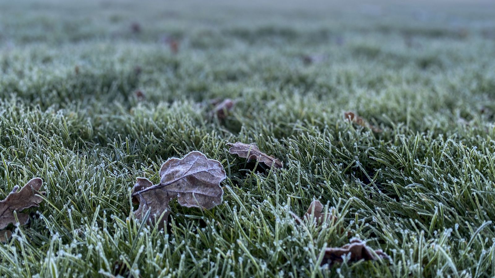
So, as we step into this cooler period, it’s time to prepare for a noticeable change. Make sure to bundle up, especially in the evenings and mornings when temperatures could drop to around 3°C to 6°C in rural areas, bringing a hint of ground frost. The upcoming week promises to be a mix of chilly winds, intermittent rain, and the first hints of autumn’s approach.
Read More:


0 Comments