

A Chilly Start to the Week in Iowa with Warmer Days Ahead
Good morning, everyone! It’s a frosty kickoff to the week here in Iowa, with temperatures plunging into the single digits overnight. If you’re in Des Moines, you probably noticed the biting wind chills that made it feel even colder—dipping into the teens and even below zero in some areas. While today will be mostly sunny, the brisk northwest winds of 10 to 20 mph, with gusts up to 25 mph, will keep us from feeling much warmth. Highs are expected to hover around the low 20s, so it’s a day for bundling up. Don’t forget your sunglasses to combat the glare from those clear skies!
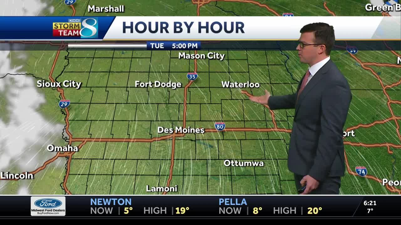
Tonight, a weak low-pressure system will slide across the area, bringing a chance of light snow between 8 p.m. and 2 a.m. While it’s not a major snow event—just a dusting at best—it might create some slick spots for the Tuesday morning commute. By tomorrow, we’ll see sunny skies again, but temperatures will remain cold, with highs only reaching the mid-teens and lows dropping near single digits. Winds will ease up slightly, but the chill will persist.
Also Read:- Leeds United Firm on Patrick Bamford's Future Amid Transfer Rumors from Blackburn Rovers
- Full Moon in January 2025: A Time for Emotional Clarity and Personal Growth
Now, here’s the good news: a warming trend is on the way! By Wednesday afternoon, temperatures will begin to climb, and we’re looking forward to highs in the 30s. By Thursday and Friday, we’ll hit the 40s—perfect for taking advantage of those milder conditions. Make your outdoor plans now, because the warm spell will be brief.
As we head into the weekend, a stronger cold front will move through, bringing back the wintry chill. Saturday and Sunday will be windy and cold, with a chance of light snow. Temperatures could dip below zero again early next week, as arctic air settles back into the region.
So, brace for today’s chill, savor the sunshine, and look forward to the warmer days ahead. Stay safe and warm, everyone!
Read More:


0 Comments