

Snow and Freezing Drizzle Set to Impact Overnight Travel
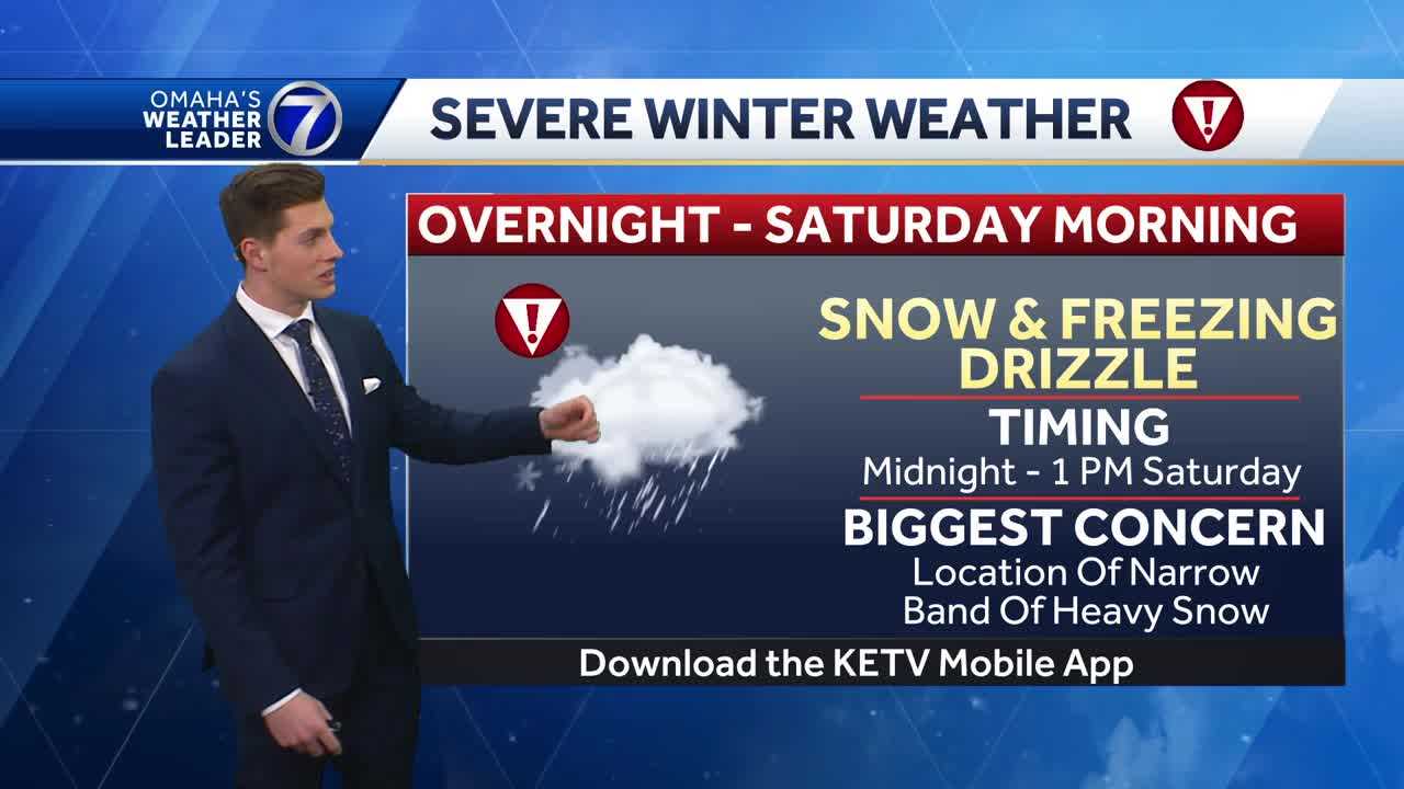
Alright, folks, if you have any late-night or early morning plans, you'll want to pay attention to this. We’re tracking a winter storm system that’s going to bring a mix of snow and freezing drizzle overnight and into the early morning hours. It’s one of those tricky weather patterns where just a few miles can make a huge difference in what you see outside your window.
So here’s what we know right now—snow and freezing drizzle are expected to develop after midnight, with the heaviest activity likely between 12 AM and 6 AM. A Winter Weather Advisory is in effect, so if you’re heading out early, be prepared for slick and icy conditions, especially on untreated roads and sidewalks.
Also Read:- NYT ‘Connections’ Hints and Answers for February 15
- Free Weddings on Valentine’s Day – A Love-Filled Celebration
Now, let’s talk about what this storm is bringing. Some areas will see mainly snow, while others could get a mix of snow and freezing drizzle. The big question is exactly where that narrow band of heavier snow will set up. Some models suggest that places like Tekamah and Dodge County could see anywhere from 3 to 6 inches of snow , while Omaha might get as little as an inch—or as much as four. There’s still some uncertainty, but the general rule is the farther north you go, the higher the snow totals.
For those south of I-80, freezing drizzle is going to be the main concern. It doesn’t take much ice to make roads dangerously slick, so even a light glaze could lead to hazardous travel conditions. The good news? Road crews have already been treating the main highways, but drive carefully, especially on bridges, overpasses, and less-traveled streets.
Temperature-wise, we’ll start the night around 33°F, but strong winds from the south at 20 to 25 mph will bring wind chills down into the lower 20s. As we move into Saturday, temperatures will continue to drop into the teens by the afternoon. And if that wasn’t enough, another round of bitter cold is on the way next week, with wind chills plunging well below zero by Tuesday and Wednesday.
Looking ahead, we’re not done with the snow just yet. Another system is on the horizon for Monday, bringing another chance for accumulating snow. It may not be a major storm, but it’s enough to keep us on alert, so stay tuned for updates.
Bottom line— tonight’s snow and freezing drizzle could make for a slippery start to your Saturday, so plan accordingly. If you can, wait until later in the day to travel when roads will be in better shape. Stay warm, stay safe, and we’ll keep you posted with the latest updates!
Read More:


0 Comments