

Severe Storms Expected to Impact the Tri-State – Stay Alert!
Hey everyone, I hope you’re staying safe and keeping an eye on the skies because we have some intense weather heading our way! Today is officially a Weather Alert Day , and for good reason. We are expecting strong to severe thunderstorms sweeping across the Tri-State area this afternoon and into the night. If you’re planning to head out, be sure to stay informed and take necessary precautions.
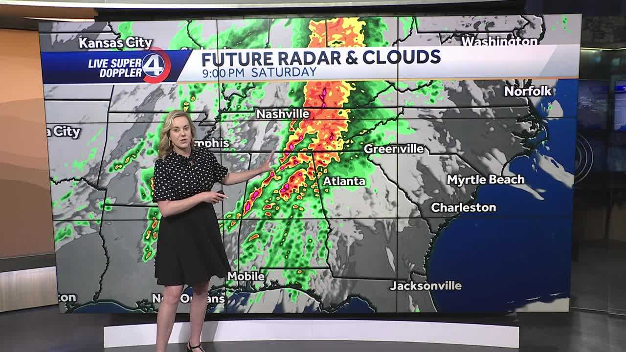
So, what can we expect? Well, we’ve got two rounds of storms to deal with. The first one has already moved out this morning, but don’t let your guard down just yet—the second round is coming in strong. This second wave is expected to roll in between 2:00 p.m. and 4:00 p.m. , bringing heavy rain, scattered thunderstorms, and the potential for severe conditions . From 5:00 p.m. to 9:00 p.m. , expect widespread rain and a better chance for strong storms, including high winds and even flooding in certain areas . That means we could see Flood Advisories or even Flash Flood Warnings issued later today.
Also Read:- Ireland Keep Six Nations Title Hopes Alive with Gritty Win Over Italy
- Auburn vs. Tennessee - A High-Stakes SEC Showdown
As we move into the night, from 10:00 p.m. to midnight , heavy rain will begin to exit the area, pushing off to the east. However, showers and a few isolated downpours could stick around into Sunday morning. This will leave us with cooler temperatures tomorrow , and if you were planning anything for St. Patrick’s Day , make sure you’re dressing warm because it’s going to feel quite chilly compared to today’s highs.
Speaking of temperatures, today’s high will reach 73°F with gusty winds, but once the rain moves in, temperatures will start dropping quickly. By tonight, expect a low of 50°F , and tomorrow, we’ll struggle to get out of the 40s in the afternoon .
Because of these conditions, several watches and advisories are already in effect , including a Flood Watch and a Wind Advisory . So, what should you do? First, make sure you’re prepared for sudden weather changes. If you’re in a flood-prone area, have an emergency plan in place. Avoid unnecessary travel during the strongest storms, and if you do need to go out, drive cautiously and never try to cross flooded roads . Keep your phone alerts on , and sign up for weather updates to stay ahead of any changes.
If you need to track the storm live, interactive radar tools are available to give you up-to-the-minute updates. Also, keep an eye on any school closings, traffic conditions, and power outage reports —these could be significant as the storms roll through.
Bottom line: Stay weather-aware today and tonight! It’s always better to be over-prepared than caught off guard. We’ll keep bringing you the latest updates as this system moves through. Stay safe, everyone!
Read More:


0 Comments