

Dangerous Storms Sweep Through Southeast Wisconsin with High Winds, Beach Closures
Hey everyone, here’s a critical weather update that we need to talk about right now. A severe thunderstorm warning has been issued for a significant part of southeast Wisconsin, including Milwaukee, Racine, and Kenosha counties , and it’s expected to last until 2:45 p.m. This is not your average summer storm — this one is packing winds up to 60 miles per hour and has the potential to cause real damage. So if you’re in the warned area, now’s the time to take it seriously and get to a safe indoor location.
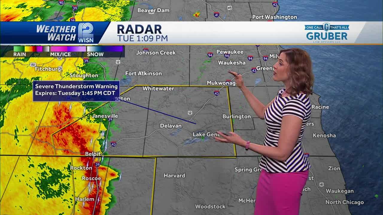
What we’re seeing here is a fast-moving line of storms, tracking east at speeds close to 50 mph , with embedded cells that may even bring hail up to three-quarters of an inch . Places like Greenfield, Franklin, Oak Creek, and West Allis are all within this warning zone. From Whitewater to Union Grove, and all the way down to Kenosha and Pleasant Prairie — this storm is sweeping across the region quickly.
Also Read:- Tom Thibodeau and the Knicks: A Wild Ride to a Bittersweet Ending
- Elon Musk Slams Trump-Backed Spending Bill as a “Disgusting Abomination”
Some towns have already reported damage, especially in Walworth County , where downed trees are becoming a problem. If you’re near Pewaukee Lake or Delavan , stay off the water. Cameras are already showing intense rainfall and reduced visibility, and the winds are pushing hard — trees and unsecured outdoor items could easily become hazards.
There’s more — several Lake Michigan beaches are closed today due to dangerous 3- to 5-foot waves . That includes Bradford and McKinley beaches . Even if the sun breaks through later, the conditions remain hazardous. On top of all this, there’s an Air Quality Advisory in place through noon Wednesday. Smoke from northern wildfires is expected to be pushed to the surface later today as a cold front moves through the Northwoods and down into our region.
As for temperature, it’s still warm out there — around 81°F right now in Milwaukee — but that’s going to drop quickly once the rain moves in. And yes, rain will linger through tonight and into early Wednesday. You can expect another half inch to an inch of rain , with even more possible in some isolated areas.
So here’s the bottom line: if you’re in southeast Wisconsin this afternoon, stay alert , stay indoors , and keep an eye on the radar . Bring your pets in, avoid driving if you don’t need to, and definitely stay away from lakes and beaches for now. The threat is real — this storm is capable of damaging winds, brief flooding, and even hail. We'll be watching it closely. Stay tuned for more updates from Weather Watch 12.
Read More:


0 Comments