

Large Hail and Storms Target Prairies as Cold Start to Summer Looms
Hey everyone, if you're in the Prairie provinces, now’s the time to pay extra close attention to your local weather alerts — because things are heating up in the skies, even if not on the thermometer. We’re right in the middle of an active storm stretch, and it's not just a passing shower. We're talking about potentially severe thunderstorms moving across large swaths of the Prairies, bringing with them a serious threat of large hail, strong winds, and heavy rainfall.
Let me break down what’s happening. Starting today, a wide region from northeastern British Columbia all the way to northwestern Ontario — including Alberta, Saskatchewan, and Manitoba — is under the threat of strong to severe storms. A cold front sliding down from the Arctic is fueling these systems, and the areas most at risk include major cities like Calgary, Regina, and Winnipeg.
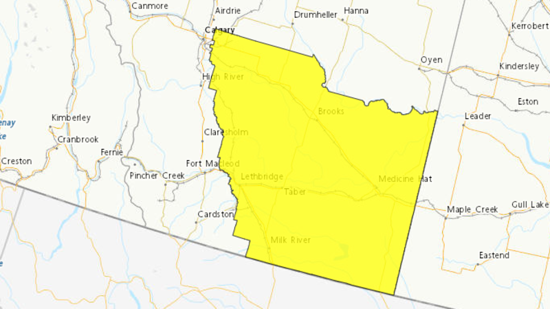
One of the biggest concerns with this round of storms is the potential for large hail — not your average pebble-sized stuff, but hailstones that can do real damage to property, crops, and vehicles. If you're in regions near the Alberta foothills or stretching across to Manitoba, stay alert. These storms could also come with powerful wind gusts, adding to the danger. And although the storms may not bring widespread flooding rain, localized downpours could still be intense, especially near the foothills where the system may stall.
Also Read:- Denise Richards Returns to Reality TV With Heart, Chaos and “Her Wild Things”
- PM Modi's Landmark Visit to Croatia Marks a New Chapter in India-EU Relations
As if that weren’t enough, this week’s storms are just the start of a bigger pattern shift. As we move into the weekend — and into what’s officially supposed to be summer — we're looking at a very cool and rainy beginning. Temperatures in some parts of the Prairies will plunge 5 to 10 degrees below seasonal averages. That’s right — just as we welcome summer on the calendar, the weather is throwing us right back into spring.
Some areas could see between 50 to 100 mm of rain by Sunday. Southern and central Alberta and Saskatchewan are likely to be hardest hit, but southern Manitoba won’t be spared either, with totals potentially reaching 40 mm or more. This is significant, especially for farmers and those living in low-lying areas.
And here’s something wild — if you’re planning a hiking trip in the Rockies, be aware: snow is in the forecast for elevations above 2,000 metres. Yes, you heard that right — summer snow. So if you're heading into higher terrain, pack for winter, not summer.
The bottom line? Be weather-aware. Keep a close eye on local forecasts, download weather alert apps, and have a plan in place in case things take a turn. These storms could develop quickly and bring dangerous conditions. Whether you’re out in the fields, on the road, or just heading to work, make sure you're prepared.
Stay safe, everyone — and keep watching the skies.
Read More:


0 Comments