

Metro Detroit Faces Stormy Afternoon With Threat of Damaging Winds and Flooding
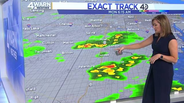
Hey everyone, just a heads up if you’re in Metro Detroit — we’re in for some wild weather this afternoon. As we kick off the week, the skies are already starting to look a bit ominous, and forecasters are warning that we could see showers and thunderstorms ramping up between 1 and 7 p.m. today. And this isn’t just your average summer sprinkle. There’s a real possibility that some of these storms could hit severe levels, bringing strong wind gusts — potentially up to 60 miles per hour — and localized flash flooding from heavy downpours.
Right now, we’re sitting under a warm and humid air mass as a warm front pushes through the region. You’ll definitely feel the moisture in the air today, with high temperatures climbing into the upper 80s. But thanks to the humidity, it’ll feel more like the 90s — so it's a sticky one out there. The unstable conditions are creating the perfect setup for thunderstorms to develop later on, especially as a cold front moves in this evening.
Also Read:- Stan Sport Scores Big with Premier League Rights, Optus Sport Bows Out
- Hero Dad Leaps Overboard to Save Daughter on Disney Cruise
The National Weather Service has placed all of Southeast Michigan under a marginal risk for severe weather. That’s a Level 1 out of 5 on the risk scale. While it’s not the highest threat level, it’s still enough to keep an eye on the radar, especially if you’ve got outdoor plans or need to commute later in the day. Power outages and tree damage are possible if those wind gusts really kick in, and if you’re driving, be cautious — heavy rain could quickly create pooling and flash flooding in low-lying areas.
The good news? After today, we’re looking at a more settled pattern for the rest of the week. Tuesday through Friday should be sunny and seasonably warm, with highs in the low to mid-80s and less humidity. And looking ahead to the Fourth of July — it’s shaping up to be mostly sunny and hot, perfect for fireworks and barbecues. Just keep an eye out for the return of rain and storms over the weekend, especially late Saturday into Sunday, when we could see highs creeping into the low 90s again.
So bottom line — take today’s storm potential seriously. Make sure you’ve got alerts turned on in your weather app, and try to wrap up outdoor activities by early afternoon. Stay safe, and we’ll get through this patch of active weather together!
Read More:


0 Comments