

Winter Storm Alert: Snowstorm Set to Impact Minnesota with Major Snowfall and Wind Gusts
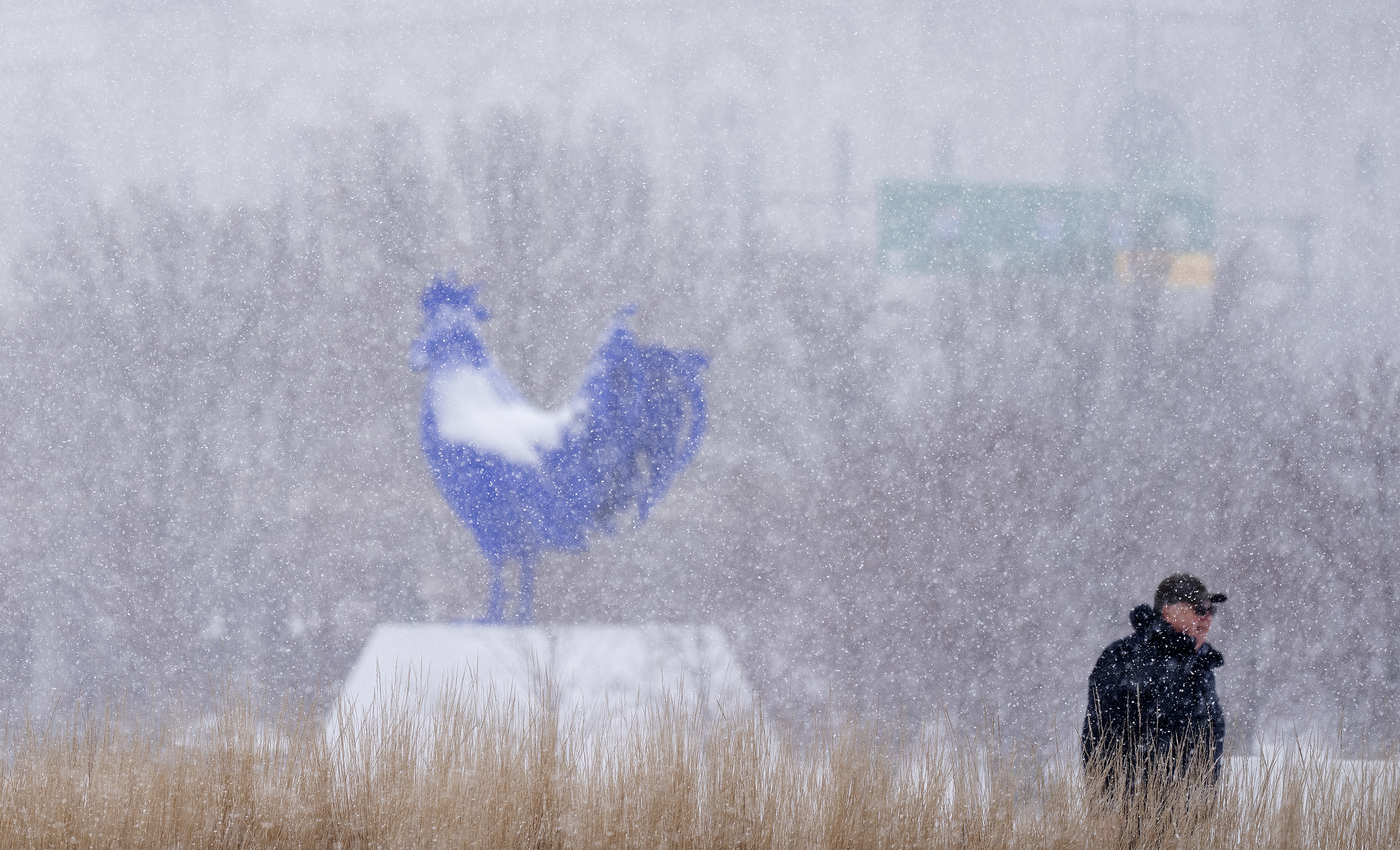
A major winter storm is on its way to Minnesota, bringing with it heavy snow and gusty winds that could have significant impacts on travel and daily life. As the storm moves in, it will affect various regions, including the Twin Cities, central Minnesota, and parts of the Dakotas. This snowstorm is expected to begin late Wednesday evening, intensifying as it spreads eastward, and will last into Thursday, with snow tapering off by the overnight hours.
According to WCCO Meteorologist Joseph Dames, this could be the largest snowfall event of the winter so far and may rival last March's major snowstorm. The National Weather Service has issued a winter storm warning for parts of northwest and west-central Minnesota, as well as southeast North Dakota. This warning will take effect at 9 p.m. on Wednesday and last through 6 p.m. on Thursday. Cities likely to experience the brunt of the storm include Fargo, Moorhead, Fergus Falls, and several smaller towns scattered across the affected areas.
Also Read:- Villarreal Faces Rayo Vallecano in LaLiga EA Sports – Live Updates
- Wall Street Drops Sharply After Fed's Cautious Rate Cut Announcements
The forecasted snowfall totals are expected to vary significantly across Minnesota. The northern parts of the state may see anywhere from 3 to 6 inches of snow, with a few areas possibly receiving more. The Twin Cities metro area can expect between 2 and 4 inches, with some isolated locations receiving higher amounts. Meanwhile, southwestern Minnesota will likely see less than an inch, and parts of southeastern Minnesota could see anywhere from a trace to 4 inches of snow.
As the storm begins to move in, snow will start falling in the Red River Valley between 8 p.m. and 11 p.m. Wednesday. It will reach the Twin Cities during the early morning hours on Thursday, between 2 a.m. and 5 a.m., initially bringing lighter snowfall. However, things will ramp up quickly, and by the morning commute, snow will be falling at a rate of about half an inch per hour, making driving conditions challenging.
This storm will likely create disruptions during the morning and evening commutes on Thursday, and the National Weather Service is advising drivers to prepare for difficult conditions. Roads will become snow-covered, and visibility may be reduced in some areas, especially as winds pick up, potentially gusting up to 40 mph. As always, it’s crucial to drive cautiously and allow extra time for travel.
The system will continue to move through Minnesota throughout Thursday, lingering into the night before tapering off. By Friday, much of the state will see clearing skies and cooler temperatures, but the impacts of this winter storm will be felt well into Thursday evening. Make sure to stay informed and prepared as this winter weather event unfolds!
Read More:


0 Comments