

Tornado Watch Expires as Storms Move Out of West Virginia
Good evening, everyone. If you've been following the weather updates today, you know it's been an intense evening across West Virginia and surrounding areas. The tornado watch that had been in effect for much of the region has officially expired, but not without leaving behind some strong storms and powerful wind gusts.
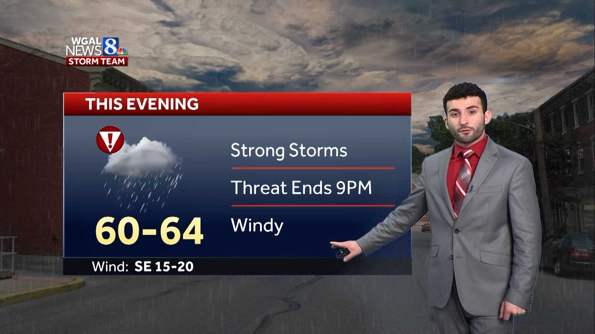
Earlier tonight, we saw some severe thunderstorms moving through, bringing heavy rain, lightning, and even some reports of hail. Winds reached speeds of up to 60 mph in some areas, causing concerns for possible damage to roofs, siding, and trees. Thankfully, as we move further into the night, the storm system is weakening, and the worst of the severe weather has passed. However, lingering rain and breezy conditions are expected to stick around for a bit longer.
Also Read:- 2025 March Madness Bracket Unveiled: Auburn Secures No. 1 Overall Seed
- Apple iPhone 17 Ultra: The Ultimate iPhone Experience Coming This Fall
Taking a look at the latest radar, we can see that while the severe storms have moved out, there are still scattered showers across parts of the region. These showers will gradually taper off as we head into the overnight hours. If you're planning to be out late tonight or heading to work early in the morning, you may still encounter wet roads and patchy fog, so be sure to drive with caution.
Temperature-wise, we experienced quite a range today. Some areas saw highs near 70 degrees earlier, well above average for this time of year. But with a cold front pushing through, temperatures are already starting to drop. By morning, we’ll be in the upper 40s to low 50s, and it will feel noticeably cooler with some gusty winds lingering.
As we move into tomorrow, expect a much calmer weather pattern. The day will start off with some clouds, but as high pressure builds in, we’ll see gradual clearing. It will be a breezy and cooler day, with temperatures hovering between 50 to 54 degrees. Wind gusts could still reach up to 25 mph at times, so while it won’t be as extreme as today, you’ll definitely notice the chill in the air.
Looking ahead into the workweek, we’re in for a mix of conditions. By Tuesday and Wednesday, temperatures will rebound into the mid-60s, bringing a brief return of mild weather. However, our next chance for showers arrives on Thursday, coinciding with the official start of spring. After that, we’re looking at another cool and breezy day on Friday.
So, in summary, the severe weather threat has passed, but we’ll still be dealing with some rain and wind overnight. Tomorrow will be breezy and cooler, with improving conditions throughout the day. And as we go through the week, we’ll see a bit of everything—some sunshine, some rain, and fluctuating temperatures. Stay safe, stay warm, and as always, keep an eye on the latest forecasts for any changes!
Read More:


0 Comments