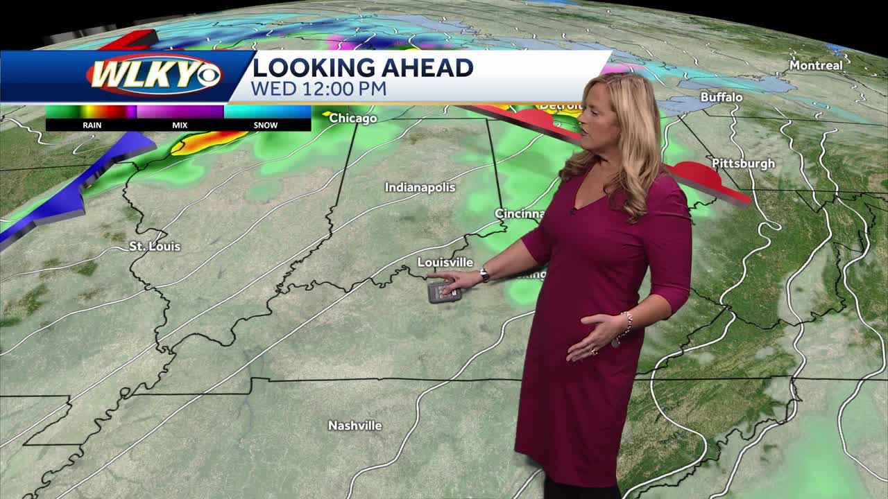
Louisville Faces Devastating Tornado and Severe Weather Threat
Ladies and gentlemen, if you are in or around Louisville, you’ve likely been feeling the intensity of the weather over the past several hours. A powerful storm system moved into the region late Wednesday night, bringing with it high winds, torrential rain, and confirmed tornado activity in multiple areas, including a significant one near Middletown.
At its peak, the National Weather Service placed Louisville and surrounding counties under a tornado watch, with multiple warnings issued as storms intensified. Wind speeds reached up to 98 miles per hour in some areas, and residents in several Kentucky and Indiana counties faced a direct threat from confirmed tornadoes on the ground. The aftermath of the storm has left behind significant damage, with downed trees, power outages, and reports of structural damage across multiple counties.
Also Read:- Bunnings Paid Parking Sparks Outrage in Caroline Springs
- Thunder vs. Pistons: A Clash of Momentum and Playoff Hopes
As of early Thursday morning, more than 8,000 Louisville Gas & Electric (LG&E) and Kentucky Utilities (KU) customers remain without power. Many of these outages are concentrated in east and southeast Jefferson County, one of the hardest-hit areas by the storm. Emergency services are actively responding to reports of damage, and fortunately, no widespread injuries have been confirmed at this time. However, authorities continue to assess the full extent of the impact.
The storm system, which originated in the Midwest, swept through Kentucky with immense force, leaving behind scenes reminiscent of past major weather disasters in the state. The threat isn’t over yet. While the immediate risk of tornadoes appears to be subsiding, Louisville and much of the Ohio Valley remain under a flood watch. With persistent heavy rains expected to continue through the weekend, the potential for flash flooding and river overflow is high. Some areas could see up to 10 inches of rain before this weather event concludes, making travel hazardous and raising concerns about additional power outages and water damage.
The Ohio River is expected to rise above flood stage by Friday night, reaching levels similar to previous historic flooding events. Residents in flood-prone areas are urged to prepare for potential evacuations and to stay alert for further weather updates. Officials are advising everyone to stay indoors, avoid unnecessary travel, and have emergency kits ready in case of worsening conditions.
For those seeking real-time updates, emergency alerts, and guidance on storm safety, local news stations and weather services continue to provide coverage. Additionally, residents can sign up for text alerts by texting “LENSalert” to 67283 to receive critical updates directly to their phones.
In times like these, the most important thing is to stay safe, look out for neighbors, and follow official guidance. This storm serves as a reminder of nature’s unpredictability, and while Louisville and the surrounding communities are resilient, preparedness remains key. Our thoughts are with those affected, and we will continue to monitor developments as more information becomes available.
Read More:


0 Comments