

Tornado Warning Rocks Cecil County Amid Severe Weather Surge
Hey everyone, just giving you a serious weather update that’s been unfolding here in Maryland — and especially if you're in Cecil County or anywhere on the Eastern Shore, it's one to pay close attention to. Tonight has been declared an Alert Day , and that means this isn’t your everyday storm. The National Weather Service has issued a tornado warning for Cecil County , and this warning comes on the heels of a whole lot of weather drama we've seen throughout the state today.
Let me break it down. The afternoon started off deceivingly calm — we actually had sunshine in parts of Baltimore and surrounding areas earlier today, which might’ve felt great at the time but actually helped fuel a volatile atmosphere. That warmth laid the groundwork for strong thunderstorms, and sure enough, as the evening rolled in, so did some serious weather conditions.
Also Read:- Ginny & Georgia Season 3 Returns With High-Stakes Drama and Surprises
- Widespread Flight Disruptions Hit YVR After Runway Closure
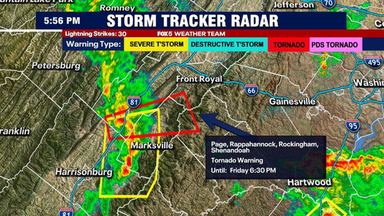
We’re talking about multiple tornado warnings, not just watches. Tornado watches were expanded earlier this evening to cover a huge portion of Maryland, including western areas and up through the D.C. metro. And now, it's turned real for Cecil County. The storms have been racing through Howard County, Baltimore, and moving northeast with intense rainfall, high winds, and yes — the potential for tornadoes.
Flooding has already caused major issues. Down in Anne Arundel County, water got so high it caused an electrical spark in a home in Annapolis, forcing people to evacuate. The Red Cross is helping those displaced, but there’s no clear timeline on when they can return home. In Baltimore, nearly 500 customers are in the dark tonight due to power outages from downed lines and tree limbs — and that number could grow.
Flash flood warnings are still in effect for many areas, and even though there's a brief dry period expected around midnight, don’t let your guard down. Another band of showers — this one with gusty straight-line winds up to 50 mph — is expected to move in overnight, especially between 2 and 3 a.m. So, we’ve got a wind advisory until 6 a.m. on top of everything else.
For those wondering about the weekend: yes, there is a bit of relief on the way. Tomorrow, some sunshine may peek through early, but scattered storms are expected again in the afternoon. These shouldn’t be as widespread or severe as today’s storms, but a few strong cells can’t be ruled out. By Sunday though? We’re looking at sunny skies and temps in the low 70s — a well-earned break after all this chaos.
If you’re in or near Cecil County tonight, please take this tornado warning seriously. Stay indoors, away from windows, and have a safety plan ready. If you have access to a basement or interior room, use it. And keep your phone charged with alerts turned on — WBAL-TV’s app and NOAA Weather Radio are great tools to stay informed.
Remember, Alert Days are issued for a reason — to protect lives. Stay safe, everyone.
Read More:


0 Comments