

Snow and Ice Threaten Greater Manchester as Region Faces More Wintry Weather
Greater Manchester is bracing for another round of disruptive winter conditions, just days after being hit by severe flooding. The Met Office has issued an updated forecast, warning the region to prepare for snow and ice this weekend. The weather will take a sharp turn, with significant snowfall expected to hit parts of Greater Manchester as temperatures continue to plummet.
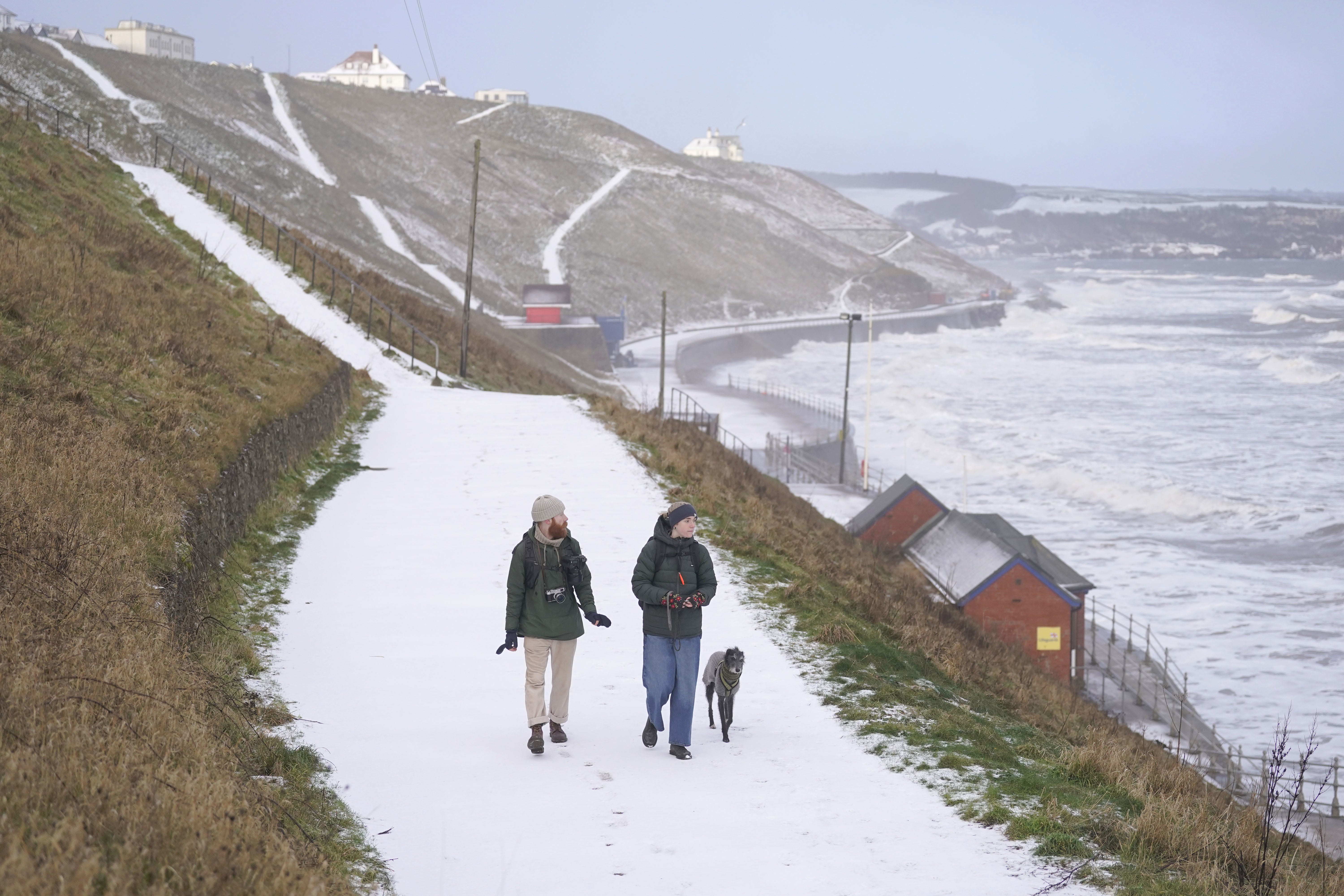
From the early hours of Sunday morning, snow is predicted to fall across the region, especially impacting the higher ground of the Pennines, where up to 40 cm of snow could accumulate. However, snow is expected to spread throughout the region, with all of Greater Manchester under a 36-hour snow and ice warning. These wintry conditions will likely bring flurries of snow, freezing rain, and icy surfaces, which could cause disruptions to travel and increase the risk of accidents.
Also Read:- Virgin Australia Crew Attacked in Fiji: Allegations Spark Concern
- Sara Sharif’s Killer Father Slashed in Prison Attack with Tuna Tin Lid
As the cold snap takes hold, temperatures are expected to stay low throughout the next few days. On January 3, the high will barely reach 5°C, with some areas experiencing lows of -1°C overnight. These cold temperatures will persist through Saturday, with highs of only 2°C to 3°C and overnight temperatures again dipping below freezing. The forecast for Saturday night into Sunday predicts that snow will start falling around 11 PM, continuing until the early hours of Sunday morning before turning to sleet. Sunday will see a rise in temperatures, reaching 7°C, with heavy rain expected to follow.
A weather warning for snow and ice will be in effect from midday on Saturday through to Sunday night, covering much of England and Wales. The Met Office has cautioned that significant accumulations of snow are possible, particularly in northern England and Wales, where the Pennines could see up to 30-40 cm of snow. In addition to heavy snowfall, freezing rain is likely to follow, bringing even more hazardous conditions with the potential for ice build-up. These weather hazards may cause travel disruption and dangerous walking conditions due to slippery roads and pavements.
The Met Office spokesperson highlighted that while there is some uncertainty about the exact timing and locations of snow, they expect the most significant accumulations of snow to occur in areas of higher ground. They also emphasized the threat of icy conditions, particularly in parts of northern England, which could cause additional challenges. The weather warnings will remain in place through the weekend, with a rapid thaw expected later on Sunday, though it remains unclear how far north the thaw will extend.
This latest weather update is another reminder of how unpredictable and harsh winter can be. After the flooding that affected Greater Manchester earlier in the week, residents are now facing the additional threat of snow and ice. Local authorities and emergency services are advising the public to take precautions, especially if traveling over the weekend, and to stay updated with the latest weather information.
Read More:


0 Comments