

Major Winter Storm Watch Issued for Sault Ste. Marie and Surrounding Areas
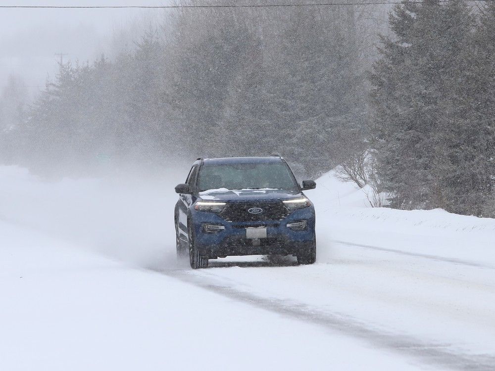
Winter may be nearing its end, but Mother Nature isn’t done with us just yet! Environment Canada has issued a winter storm watch for Sault Ste. Marie and several surrounding regions, with heavy snowfall, freezing rain, and strong winds expected over the next few days. If you thought we were in the clear for spring, think again—this storm is set to bring up to 30 cm of snow , making travel conditions hazardous.
The storm is predicted to intensify Tuesday evening and last through Thursday , bringing a mix of rain, snow, and even freezing rain depending on your location. Temperatures are expected to rise above freezing on Tuesday and Wednesday before dipping back down on Thursday. That temperature fluctuation means we could see a messy mix of precipitation—snow for some areas, rain for others, and potentially dangerous freezing rain right along the transition line.
Also Read:- Linda McMahon Confirmed as Education Secretary Amid Push to Shut Down Department
- Celebrating Women’s Rights, Equality, and Empowerment on International Women’s Day
According to Environment Canada, strong 50 km/h winds will add to the chaos, causing blowing and drifting snow . This could significantly reduce visibility on roads, making travel conditions even worse. Motorists are strongly advised to avoid unnecessary travel and be prepared for possible delays. The rapidly accumulating snow and icy surfaces could make roads, highways, sidewalks, and parking lots extremely slippery.
The affected areas include:
- Sault Ste. Marie, St. Joseph Island, and Batchawana Bay
- Greater Sudbury, Elliot Lake, and Temiskaming Shores
- Wawa, White River, and parts of Lake Superior Park
- Timmins, Cochrane, and Kirkland Lake
This storm's exact path is still uncertain, which means precipitation types and snowfall amounts may vary depending on the final track of the low-pressure system. Regardless, it's best to stay prepared , stock up on essentials, and limit travel if possible. Stay tuned for updates, and let’s get through this last blast of winter safely!
Read More:


0 Comments